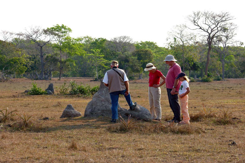
 Termites create land areas
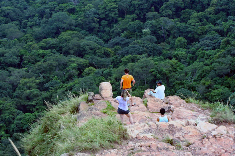 The Chapada Plateau in the North
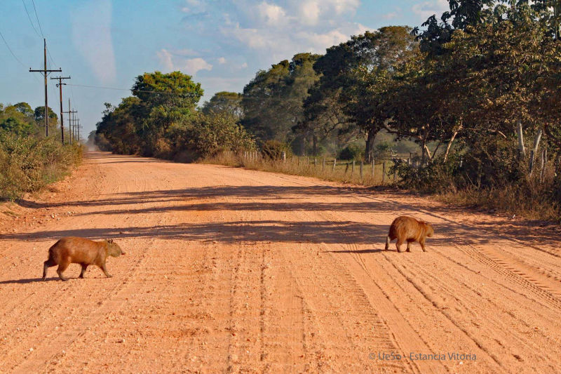 The typical red clay road - Transpantaneira
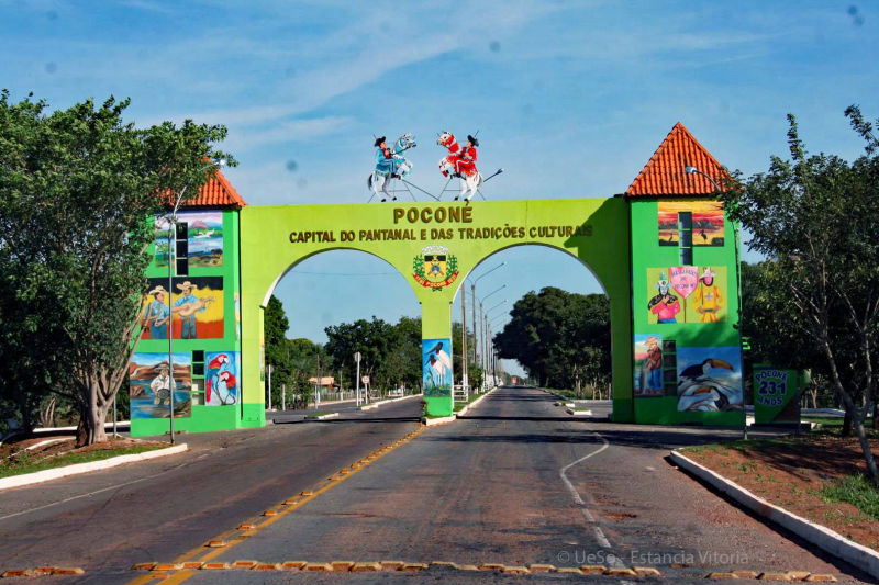 Poconé the gateway to the Pantanal
...a large green carpet during the rainy season
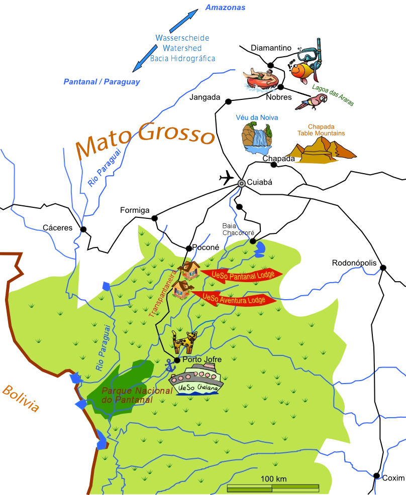
In the Pantanal, you will encounter a wide variety of species, including 640 bird species such as the Hyacinth Macaw, many amphibians, the twilight-active Tapir, and the anteater. The second largest bird in South America, the jabiru, also calls this region home. You may also spot the jaguar and the anaconda near our Lodge.
Did you know... that the coati is the only animal capable of eating the introduced, poisonous Aga toad? It beats and washes them until the poison is released from their bodies before consuming them.
Or that leaf-cutting ants only defoliate every other tree? After two years, they return to the same spot and defoliate the second tree. This is how they maintain their ecological balance.